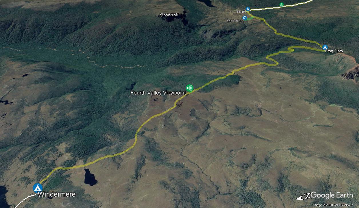
Leaving the forest around the Windermere campsite, you wander through the open heathland, past a series of tarns and lakes as you head towards the view of Mt Pelion West. The track gently undulates for just over 4km to come to a signposted intersection with the short (65m) side trip to Forth Valley Lookout, worth the short side trip.
From here, the track soon leads into the dense and mossy Pine Forest Moor then after about 1km the forest gives way to more open buttongrass country, and a great view of Mt Pelion West. After another 250m cross a small timber bridged creek, then after another 1.7km come to the bridged Pelion Creek (there is a timber platform giving access the creek). From here continue down the main track, through the myrtle-beech rainforest to Frog Flats.
Frog Flats marks the lowest point of the Overland Track (730m @ 11.1km into this section). There is another creek and camping area at Frog Flats. There are no toilets or camping facilities (and there are leeches and mosquitoes) so most walkers don’t stay the night here, but it can be a good spot if you want a night away from others or to simply break this day up.
From Frog Flats, the track winds uphill; notice the change in vegetation from the mossy rainforest to the open eucalypt forest as you reach the edge of the Pelion Plains. Just shy of 3km from Frog Flats, you come to a signposted intersection with the track to the Old Pelion Hut.
Continue straight along the Overland Track for another 800m to come to Pelion camping area and hut.
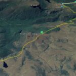
 Windermere Hut
 Frog Flats
 Old Pelion Hut
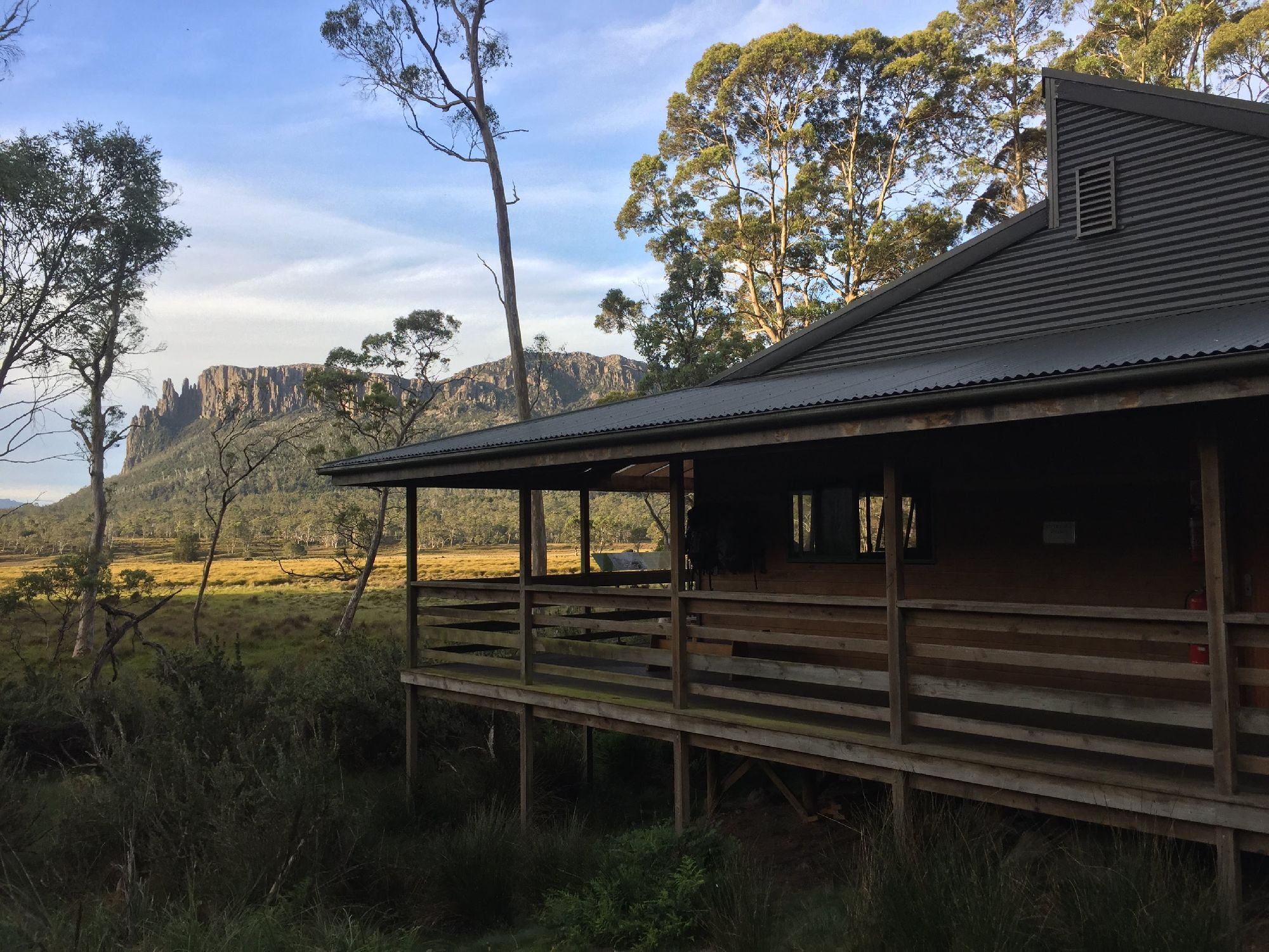 Pelion Hut