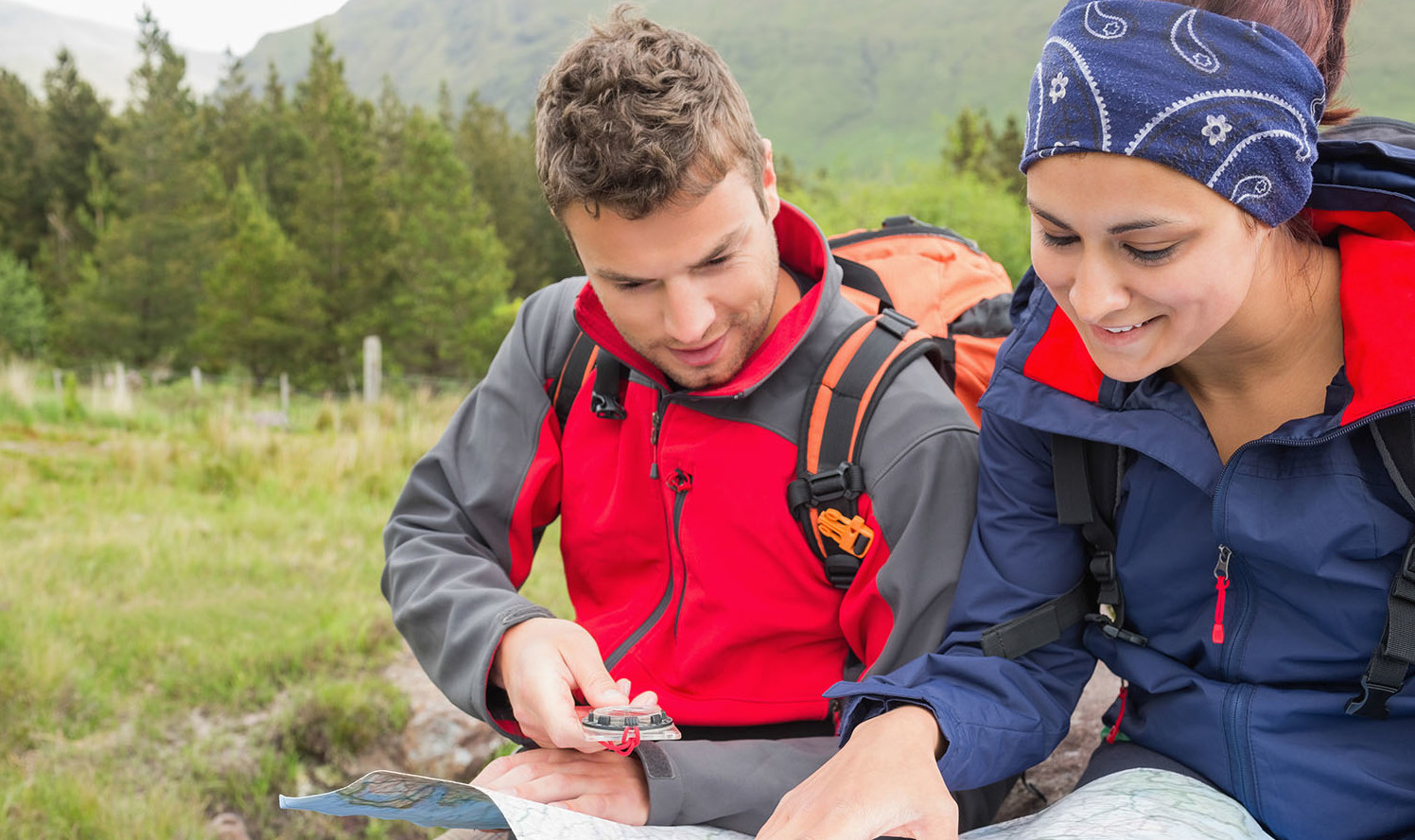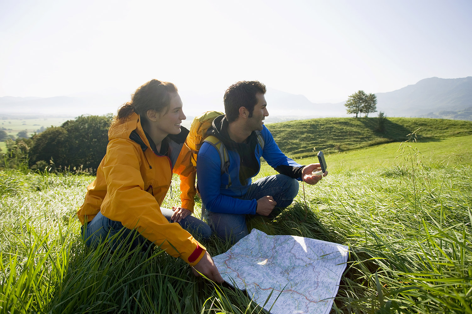
GPS devices and mobile smartphones allow the user to pinpoint their location to an accuracy of around 10-20m, often a much greater precision that by map and compass. They communicate with satellites and work well when they have a relatively clear view of the sky. They will not work in enclosed canyons, gorges and caves.
GPS technology allows the user to identify their physical location and plot it back to a topographic map. In a practical sense, often bushwalkers use a GPS to double check their location matches with where they think they are, or to identify recommended campsites, water locations, entrances to canyons, passes through cliff-lines, etc.
GPS users should make sure that their GPS is set to the right datum and projection, and that they understand how to translate the coordinates reported on a GPS unit onto a standard topographic map.
 Navigational tools
 Grid references
 What is a map?