
For those people who want to put on a full pack and undertake the GNW as a series of overnight hikes, this itinerary suggests places to camp, and one night suggests using a motel as there are no formal campsites in the area. The campsites are suitable for tents or bivi bags. Camping hammocks work well except in the caravan parks. Where public transport is not available, you will need to organise a car shuffle or have a friend help with the driving.
8 weekend walks that will get you from Sydney to Newcastle for those who like a faster pace and don’t mind some long days.
This overnight walk starts from the Obelisk in Macquarie Park, Sydney, at the official start of the Great North Walk. The walk soon boards the ferry from Circular Quay to Woolwich, and follows the Great North Walk through the streets of Hunters Hill and into the Lane Cove National Park. After staying the night in a caravan park here, the walk backtracks a little, then heads north, winding through the Lane Cove Valley, up to Thornleigh train station.
 Weekend walks
Following the Great North Walk and Berowra Creek through Berowra Valley Regional Park, this walk cuts straight through the length of the Park. The views are good, providing a broad idea of what this park has to offer. Conserve your energy for the section between Berowra Waters and Cowan as there are several solid hills. You can refill the tummy in Berowra Waters with a couple of cafes to choose from. Note this walk was re-routed in early 2016 to go via the streets of Hornsby Heights. This re-route is due to the multi-agency decision to close the Fishponds to Steele Bridge section of the Benowie Track. This decision has upset many people and the protest continues.
This section of the Great North Walk starts from Cowan train station and wanders past the majestic Jerusalem Bay then through to Brooklyn. After a ferry ride to Patonga, this walk climbs to the top of the ridge, reaching even more great views. Day 2, the track heads over the scenic Mt Wondabyne and around to Wondabyne Station. Please check timetables for ferry and trains as they can be infrequent.
Starting with a steep climb from Wondabyne Train Station you will explore a series of large rock platforms with wide views over the Brisbane Water National Park and visit Scopas Peak. When back in the valley you’ll walk along the cool Mooney Mooney Creek before reaching Somersby. The rural area is soon left behind when you reach rainforest of the Palm Grove Nature Reserve where you can observe the Strangler Fig Trees, Cabbage Palms and Eucalyptus trees. You’ll pass the rural area of Ourimbah Valley to get to the historic Bumble Hill Dray Track and finish the walk at Yarramalong.
Starting at the quaint Yarramalong township, this walk follows a couple of rural roads to the Cedar Brush Trackhead. This is the longest road stretch on the Great North Walk. Some people see this is a road slog and either grab a lift or power walk it, others see it as an opportunity to stroll through the country side. However you choose to undertake this section of the walk, I encourage you to enjoy the valley views and soak up the vibe on the semi secluded rural valley community. The section along the Lyrebird Trail by the Wollombi Brook is particularly recommended. From the Cedar Brush track head, the walk winds up into the Olney State Forest through bushland (crossing over two moist gullies). Once most of your height is gained, this walk follows unsealed road before dropping down into the Wollombi Brook gully. From here, the walk follows bush tracks along Lyrebird Trail and to the Basin Campsite.
This varied walk travels north through the Watagans. Leaving the Basin campsite behind, the walk traverses the Wollombi Brook via the Lyrebird trail. The Wollombi Brook Pool is a great spot to stop (and take a swim) on a hot day. From the pool, the walk climbs into the Warrawolong Flora Reserve using a combination of bush tracks and dirt roads. Along the way, a side trip to Mt Warrawolong offers views on the way to the highest point in the area. After descending into the beautiful Watagan Valley this walk soon crosses the lovely Watagan Creek. From this point, the walk leaves the Watagan valley and climbs steeply up the bush track through forest. The walk then travels on dirt road, passing a campsite and rest area, before arriving to the unfenced Flat Rock Lookout. Flat Rock Lookout is a natural rock platform that offers magnificent views across the Congewai Valley to the east and north. From here you will walk down into the Congewai Valley below, exploring the little used dirt road to the Congewai Communication Tower. From here you follow a series of tracks that wind down, steeply in places, through the tall open forest with a scattering of grass trees to the bottom of the range. Now the walk guides you through open farmland before following Congewai Road along main valley to the trackhead near Brown Muir Farm.
This full day walk starts from the Congewai valley trackhead (east) and follows the Great North Walk up into the Watagan National Park. Winding east along Georges road for the most part, this walk also passes many great lookouts and gives the option of a side trip down to the 125r lookout, which provides a great view to the south and nice spot for lunch. Another lunch spot is Watagan Headquarters campsite, which has a fire place and a picnic table. Then follow the dirt road past Hunter and MacLean’s Lookout, before descending into the Wallis Creek catchment. Here the walk traverses underneath many cliffs before crossing Wallis Creek and arriving at Heaton Lookout. From grand views at Heaton Lookout in Heaton state forest walk past the picnic area and motel at Heaton Gap. Walk follows the dirt road to a communication tower before passing another lookout and expansive valley views. Here you start the steep decent along a rocky track and passing a lovely grove of grass trees. From here you follow a grassy trail and powerlines before the narrow track leads down and across the road at Heaton Gap.
This section of the Great North Walk starts from Heaton Gap near the Watagan Forest Motel, and winds east, towards Newcastle. The walk passes through the Awaba State Forest and past the Sugarloaf range, down into Wakefield and on to Teralba, a pleasant town on the edge of Lake Macquarie. From Teralba this walk winds down and around the edge of Lake Macquarie. The walk passes through the Cockle reserve, and continues to Warners Bay and up along the roads, before cutting through the bush to Charlestown, where it winds around the golf course to Charlestown Park track head. From here you will follow the Great North Walk through a few reserves and along a Burwood Beach, past the heads to Merewether Beach. Exploring bush around Glenrock lagoon on the Yuelarbah Track, including the Leichhardt’s Lookout are highlights. From this lookout the track leads down past the edge of the lagoon then along the sandy beach, past Merewether ocean pools. From Merewether, you will mostly follow the coast line to Queens Wharf. After exploring some of Newcastle’s (and arguably Australia’s) best beaches, the grand views from Strzelecki Lookout, you then wander through King Edward Park where you can take the optional side trip to the intriguing Bogey Hole. The walk then takes you up to more panoramic views from the The Obelisk, before you stroll through Newcastle CBD and mall to Queens Wharf. There are a few long hills, just take you time and enjoy the salt air.
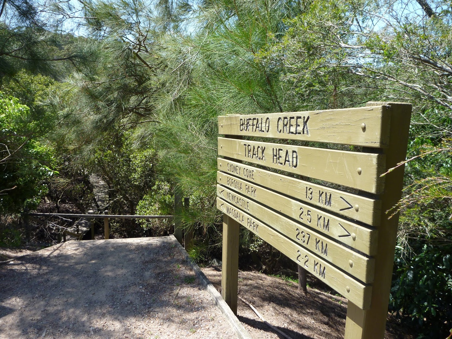
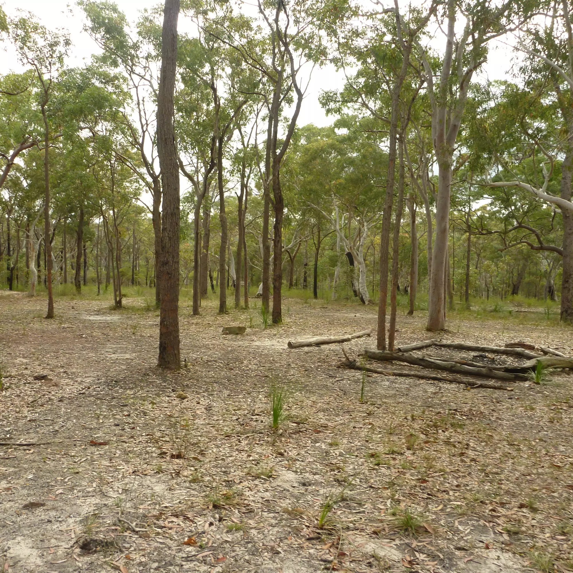 Campsites
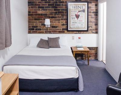 Accommodation